
-
Phone: +91 (0251) 220 6495
-
Email: info@pnsco.in
-


Quick Links
Our Infrastructure
Download Links
Software Tools
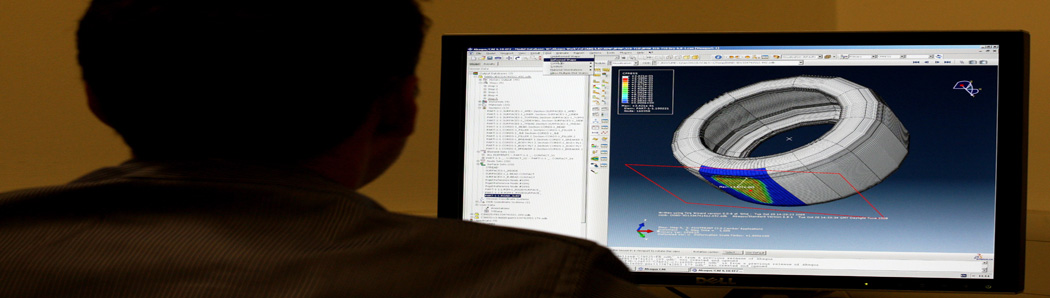
Software and related Tools also contribute towards the growth and success of PNSCO; our use of software ranges from Designing, Drawing, Rendering to Mathematical and Statistical Analysis. We also have customized software at our disposal and our team of engineers too, has customized certain modules of CAD for analytical purposes.
This department is also entrusted with the critical task of providing back-end support to all the other departments. Some of the output deliverables from this department include
Other computer peripherals include: Xerox WorkCentre 5020/DN, two (2) A0 size Designjet 510 colour plotters, HP OfficeJet K7108 colour printer, HP Laserjet P1007, and HP Laserjet 1040 printer.
For drafting purposes, the computer department is equipped with Licensed copies of Autodesk 2016, ZWCAD and FlexiCAD. Sophisticated engineering design and calculations such as earthwork calculations, L-sections, etc are processed in software such as Autodesk, Infrastructure Design Suite Premium, AutoCIVIL, AutoPlotter and E-Survey Solutions. Postprocessing software such as StarPoint and Geogenious is used for processing raw GPS data. The company also possesses GIS software such as GRAM++ (indigenously developed by IIT-Bombay) and open source software such as Quantum GIS and Kosmo. We also have a licensed version of Pix4D software for processing Drone Survey data.
CAD/Computer Department
The CAD/Computer Department is well furnished with latest software and has an in-house software development team to cater the companys drive towards automation. This department also serves a vital role in electronic data collection from sophisticated surveying equipments which ensure the accuracy of survey data through direct computer downloading.This department is also entrusted with the critical task of providing back-end support to all the other departments. Some of the output deliverables from this department include
- High Quality Maps (prepared from Survey)
- Design Drawings
- Design Data
- GIS Data
- Vectorized Maps
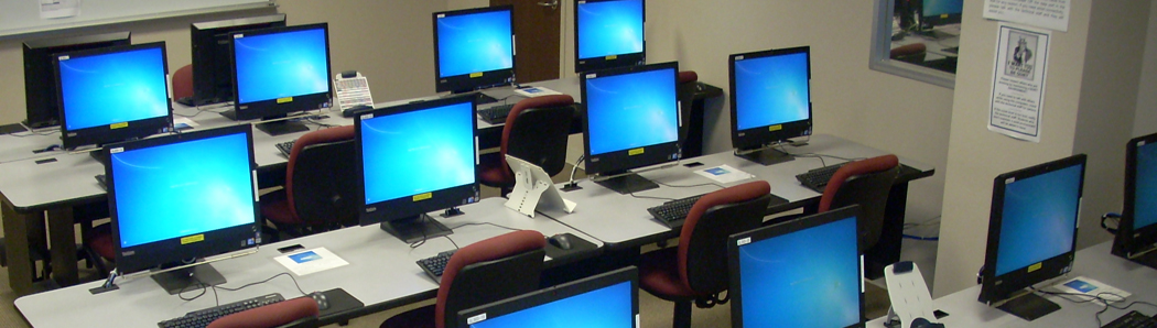
CAD Equipment and Software
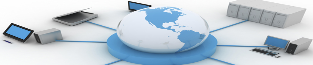
The computerized drawing office is well equipped with the latest state-of-the-art PCs with Pentium processors (total 20 nos. with LCD monitors). All computers in our head office are networked and are connected to an IBM DS3300 storage server with 4TB disk space which offers superior data availability and reliability. The company also possesses five (5) laptops with necessary accessories for field deployment and out-of-station projects. The company has installed a dedicated Workstation with Intel Core i7 Processor, 64GB RAM and 1TB SSD to seamlessly process Drone Survey data.Other computer peripherals include: Xerox WorkCentre 5020/DN, two (2) A0 size Designjet 510 colour plotters, HP OfficeJet K7108 colour printer, HP Laserjet P1007, and HP Laserjet 1040 printer.
For drafting purposes, the computer department is equipped with Licensed copies of Autodesk 2016, ZWCAD and FlexiCAD. Sophisticated engineering design and calculations such as earthwork calculations, L-sections, etc are processed in software such as Autodesk, Infrastructure Design Suite Premium, AutoCIVIL, AutoPlotter and E-Survey Solutions. Postprocessing software such as StarPoint and Geogenious is used for processing raw GPS data. The company also possesses GIS software such as GRAM++ (indigenously developed by IIT-Bombay) and open source software such as Quantum GIS and Kosmo. We also have a licensed version of Pix4D software for processing Drone Survey data.